

about us
Duoverse develops AI-enhanced hybrid digital twins that make complex physical systems faster to simulate, easier to understand and actionable in real time.
Our technology combines physics-based simulation, artificial intelligence, geospatial data and real-time observations to reproduce and predict the behaviour of cities, territories and infrastructure at high spatial resolution.
Unlike conventional digital twins that primarily visualise data, Duoverse integrates predictive physical models directly into the twin. This enables users to explore scenarios, anticipate evolving conditions and quantify the consequences of different decisions before acting.
Applications include urban wind and thermal comfort, air quality and pollutant dispersion, flooding and climate adaptation, wildfire and emergency response, infrastructure resilience and other environmental or industrial risks.
Our hybrid approach accelerates computationally intensive simulations while retaining physical consistency, enabling predictions to be updated as conditions or sensor data change.
Duoverse provides public authorities, urban planners, engineering companies and infrastructure operators with a shared decision-support environment for both planning and operations: testing future scenarios, monitoring current conditions, anticipating risks and accelerating evidence-based decisions.
OUR innovation
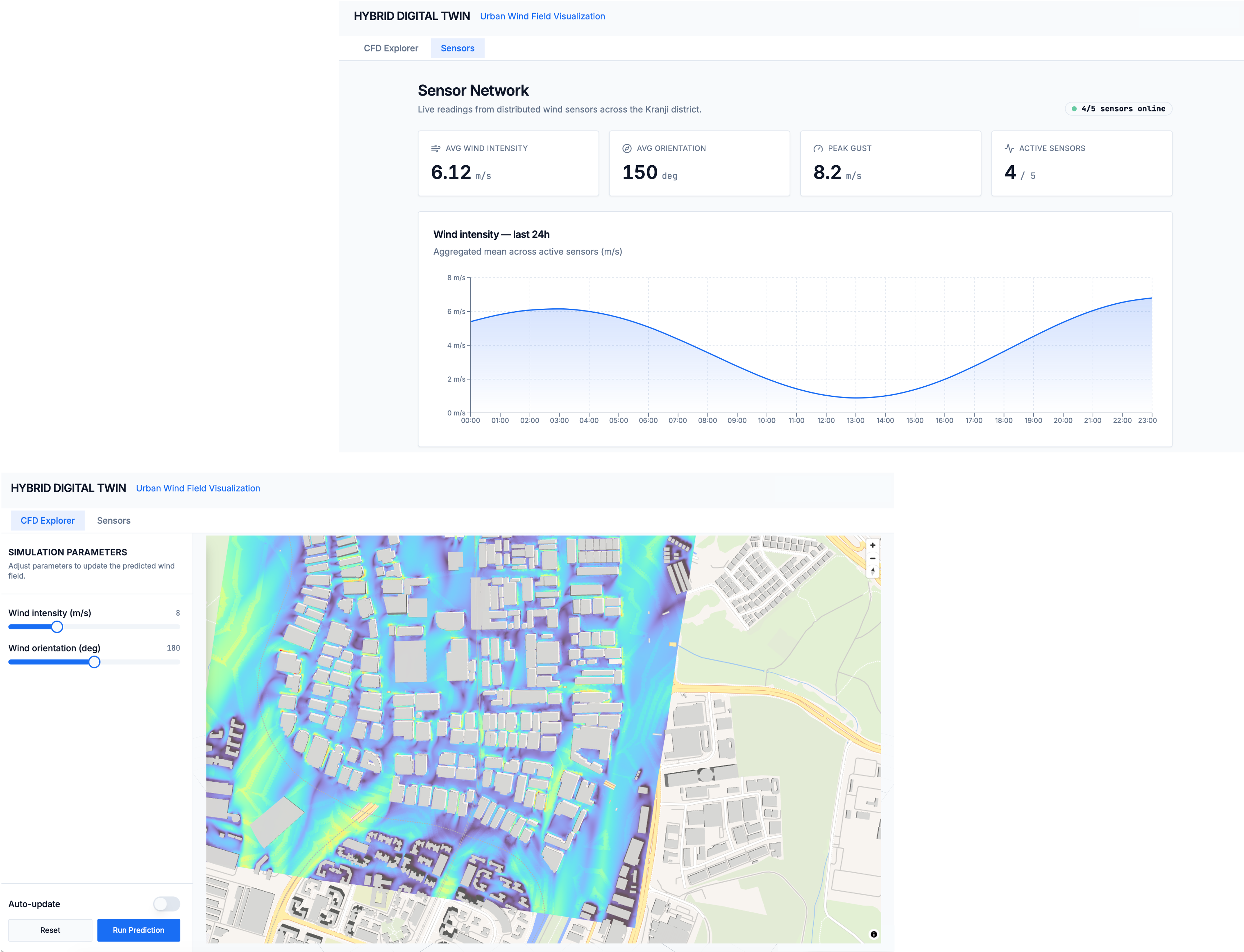
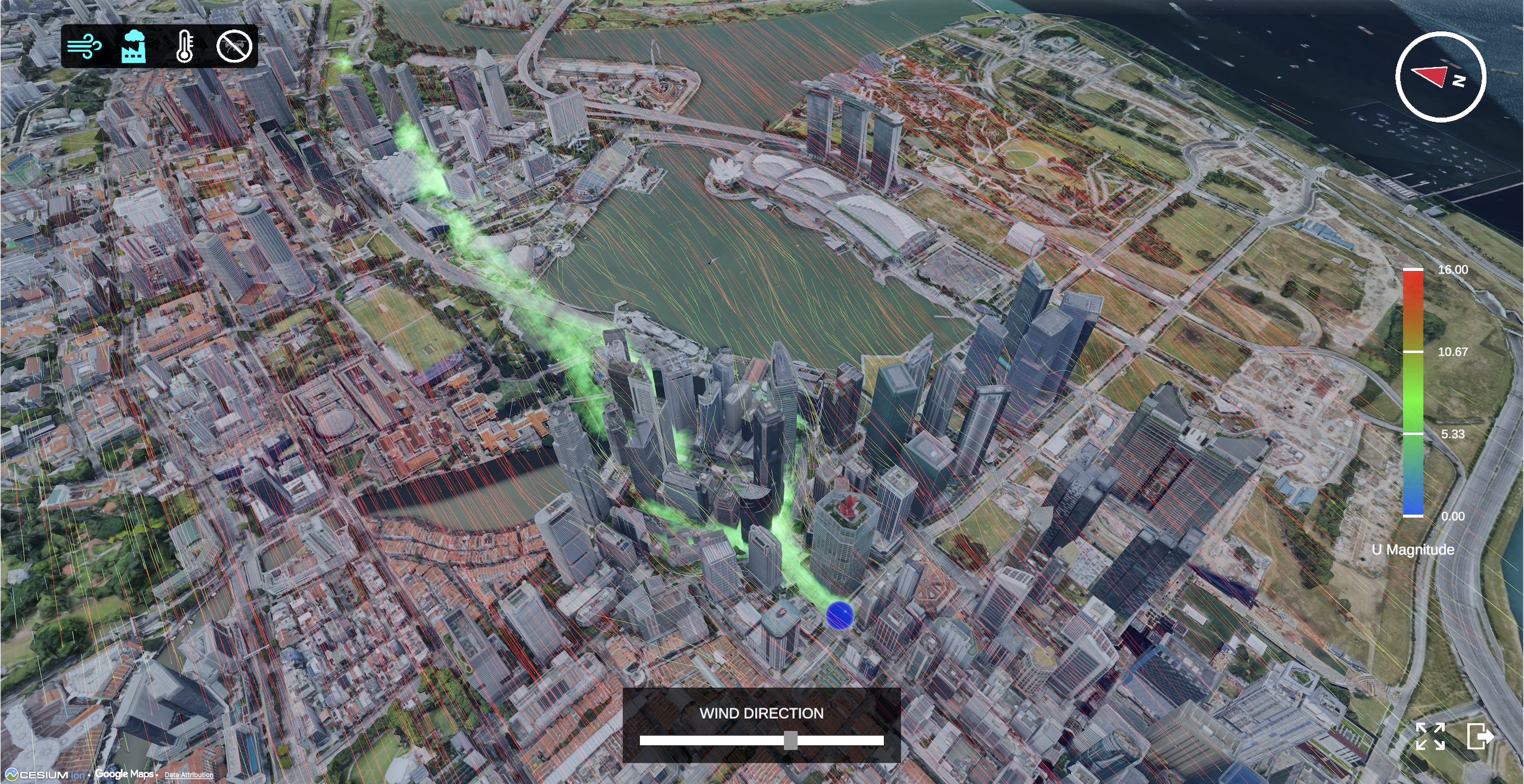
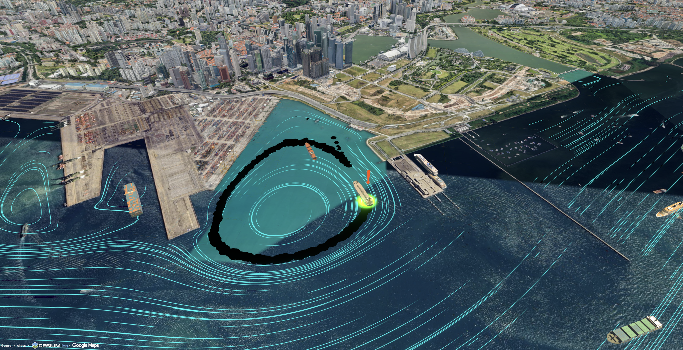
Duoverse turns complex urban systems into operational hybrid digital twins by combining physics-based simulation, AI, geospatial data and real-time sensing. Our platform delivers fast, high-resolution predictions for use cases such as urban wind, heat, pollution, flooding and emergency response, enabling planners and operators to test scenarios, anticipate risks and make faster, evidence-based decisions.
OUR ECO-RESPONSIBLE COMMITMENTS
Our hybrid digital twins help cities and operators test scenarios virtually before acting in the physical world, supporting more efficient use of resources, climate adaptation and risk prevention. By combining physics-based models with AI and available data, we also reduce the computational burden of repeated high-fidelity simulations while enabling better-informed, lower-impact decisions.
Customer references & Significant projects
Selected projects include Thales for urban drone trajectory optimization; Flying Whales for operations over complex terrain; City of Pau for real-time urban monitoring; HTX Singapore for CBRN security; the French Air and Space Force for a G7 Evian demonstrator; Bouygues for urban development in Manila; CISTEME for 5G antenna placement optimization; and Immersion for integrating digital twins into VR/XR environments.
CONTACT

Email : angelo.pasquale@duoverse.ai
Mobile : +33 (0) 7 69 44 65 94
28 Rue de la Redoute, 92260 Fontenay-aux-Roses – France