SINAY

SINAY

Booth N251

#underwateracoustics #maritimedata #maritimeAPIs #metoceananalysis #offshoreplanning #weatherdowntime

about us :

Sinay helps maritime corporates to conciliate business efficiency with ocean sustainability.
 
We have developed the Sinay Hub, a unique software that gathers and analyzes maritime data with Artificial Intelligence (AI). We can plug any type of IoT sensors, data sources and even deploy data collection network at sea. We provide environmental and logistic predictions to offshore construction and supply chain stakeholders. 
 
Our software and APIs monitor:
– metocean data to plan and manage the offshore operation,
– environmental data such as Air, Water and Underwater noise to prevent pollution events and predict the impact on biodiversity
– logistic related data to predict ship arrival ship arrival time to a port and port congestion. 
 
Using our solutions, maritime companies drastically reduce their time and cost for searching the right information and increase their operation efficiency as well as reducing their impact on ocean biodiversity.
 
We love Ocean, Data and Business. We connect them.
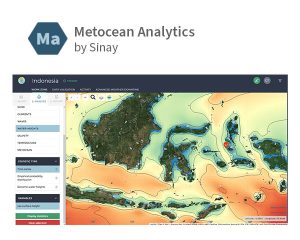
Metocean Analytics by Sinay

Metocean Analytics by Sinay gathers and monitors metocean data for each phase of your offshore project.
Metocean Analytics by Sinay gathers and monitors metocean data for each phase of your offshore project.

Underwater Acoustics

A full package for real-time underwater acoustics monitoring. Sinay tackles the noise issues and provides a large set of professional services for real-time underwater acoustics monitoring with specific equipment resources (hydrophones, deterrent devices, buoys…) and a team of experts in marine mammals and underwater acoustics (PAM certification).
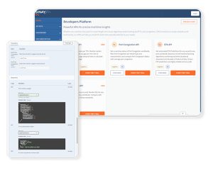
Sinay Maritime APIs Directory

A Hub of APIs for Ocean Freight to Enhance Efficiency and Sustainability. Whether the solution is targeted at freight forwarders, shipping lines or port-side operations, Sinay APIs can help deliver more value to the clients by resolving key market pain-points and enhance decision-making.  
Please enable all cookies to view the video.

CONTACT US

Thierry DUCELLIERHead of Sales
14 rue Alfred Kastler, 14000, Caen, France

E-mail : thierry.ducellier@sinay.fr
Site web : https://sinay.ai/en/
Tél. : +33 (0)2 50 01 15 50 – +33 (0)7 64 50 15 51
MAPPEM Geophysics

MAPPEM Geophysics

Booth N351

#marine #electromagnetic #resistivity #subsurface #environmentalimpact #siteinvestigation

about us :

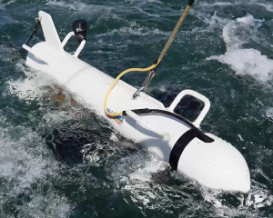
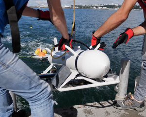
MAPPEM Geophysics offers a unique perspective into the marine subsurface and environment using tailor-made electromagnetic instruments and expertise forged along the coast of Brittany, France. We pride ourselves on providing our clients with new insights, whether that be geophysical imaging (e.g., lithology, porosity, heterogeneities, beneath acoustic marks), detecting buried objects and hazards (e.g., ferrous and non-ferrous UXO, boulders), or measuring ambient electromagnetic fields (e.g., environmental impact assessment, geothermal).
 
Talk with us to discover how MAPPEM’s specialised marine electromagnetic systems can deliver greater knowledge about your marine subsurface or environmental challenge.

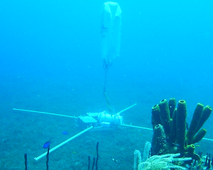
Geophysical imaging with Marine Electrical Resistivity Tomography (MERT). MAPPEM’s system introduces an electric current into the subsurface and receivers measure its response (i.e., resistivity). The resultant subsurface models can characterise lithology, porosity, geometry, nature, and beneath acoustic marks.

Detection and localisation of buried objects, hazards, and obstructions with electromagnetics. MAPPEM’s 3D system (MAPPEM-3D) introduces an electric current into the subsurface and dedicated data processing can determine the presence of objects. The results can be used to detect and locate boulders, archaeology, cables, ferrous and non-ferrous UXO.

MAPPEM’s highly sensitive systems can measure the ambient electromagnetic fields in the marine environment. When coupled with habitat maps, the measurements can help assess the potential environmental impact of offshore infrastructure (e.g., cables, substations). The systems can also be used to map geothermal plays and for defence purposes.

Please enable all cookies to view the video.

CONTACT US

Andrew WELLERBusiness Development Manager
1 Rue des Ateliers, 29290 Saint-Renan, France

E-mail : contact@mappem-geophysics.com
Site web : www.mappem-geophysics.com
Tél. : +33 (0)2 98 03 23 95 – +33 (0)6 38 34 64 14